Description
YOUR HOME IS CLOSER THAN YOU THINK
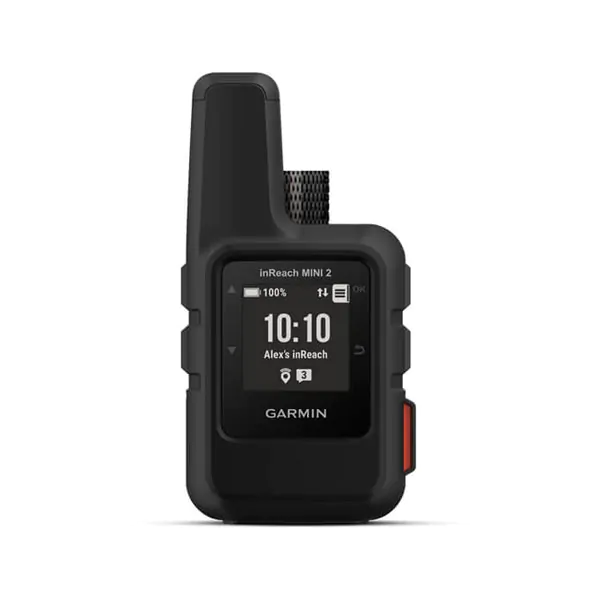
With this compact satellite communicator your home is always close even when you are offline, for greater peace of mind in every adventure and without adding weight to your luggage.
Thanks to global satellite coverage you can stay connected when mobile phones don’t allow it.
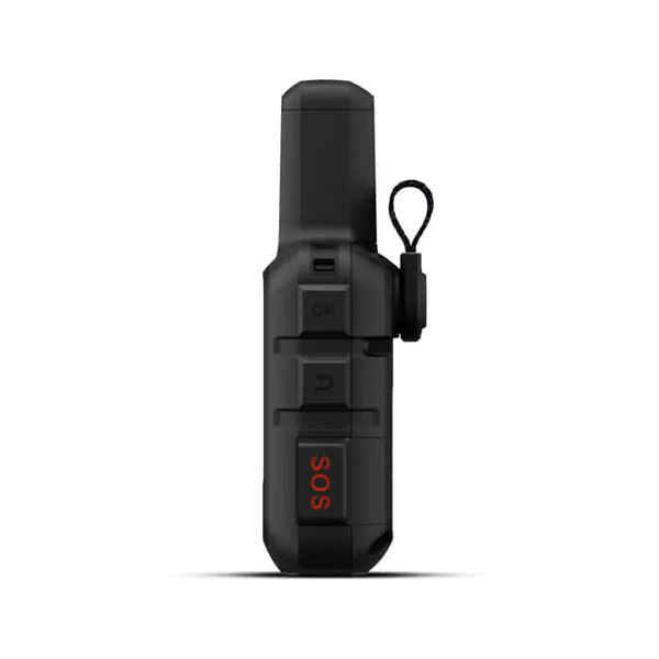
In case of emergency, you can send an interactive SOS message to our coordination center.
Plus, you can always connect to the people who matter to you, even if there’s no phone network.
With TracBack® routing you find your way back if you happen to get lost.
Expand the capabilities of your inReach device using the Garmin Explore ™ app.
Live your adventures longer with a battery that lasts up to 14 days with a detection rate set to 10 minutes.
TWO-WAY MESSAGE
Exchange text messages with friends and family back home, post on social media, or communicate with another inReach device in the field.
INTERACTIVE SOS ALERTS
In the event of an emergency, activate an interactive SOS message directed to Garmin IERCC, a professional emergency response coordination center, operating 24/7.
LOCATION SHARING
Share your location with loved ones back home at any time using the MapShare ™ page or the coordinates embedded in your messages.
GLOBAL SATELLITE NETWORK
Instead of the cellular network, your messages, SOS alerts and position records are transmitted via the Iridium® global satellite network.
FLEXIBLE SATELLITE TRANSMISSION PLANS
An active satellite subscription is required to access the Iridium network and communicate with your inReach Mini 2 device. You can choose a yearly package or a flexible monthly plan.
COMPACT AND ROBUST DESIGN
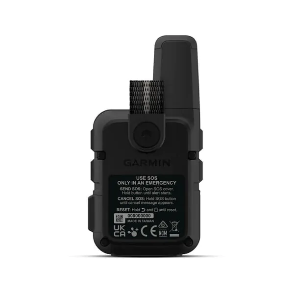
Don’t be fooled by the 4 ″ x 2 ″ in size and 100 g in weight. inReach Mini 2 is tough, durable, impact resistant (MIL-STD-810) and has an IPX7 waterproof rating.
ROUTING TRACBACK
The TracBack routing function shows you the way back to the starting point following the path of the outward journey, in case you get lost, directly to the device.
DIGITAL COMPASS
Get accurate direction information, even when you’re not moving.
BATTERY LIFE
The internal rechargeable lithium battery lasts up to 14 days in default detection mode every 10 minutes and up to 30 days in power saving mode.
INREACH WEATHER FORECAST SERVICE
Receive detailed weather updates on inReach Mini 2 or a paired compatible device. You can also request forecasts for your current location or other waypoints or destinations on the route.
UNLIMITED CLOUD STORAGE AND PLANNING
Access the cloud-based Garmin Explore website for free on your computer to plan trips, create preset messages and quick texts, sync and manage your device settings, and much more .
Garmin Explore
Synchronize with the Garmin Explore website or mobile app on your compatible smartphone for navigation, waypoints, routes, activities and collections. Plus, you can access trip planning and topographic maps.
OTHER GARMIN DEVICES
Remotely control the inReach Mini 2 to send and receive messages, start and stop tracking, and activate an interactive SOS using compatible Garmin handhelds, wearables or other mobile devices.
GARMIN PILOT ™ APP
Pair it with the Garmin Pilot satellite communicator to easily send and receive text messages from the cockpit, even in areas with no mobile network reception. The app can use the GPS location and location sharing capabilities of the inReach Mini 2 device for flight.
 ITA
ITA
 DEU
DEU
 FRA
FRA
 ESP
ESP


