-15%
Garmin

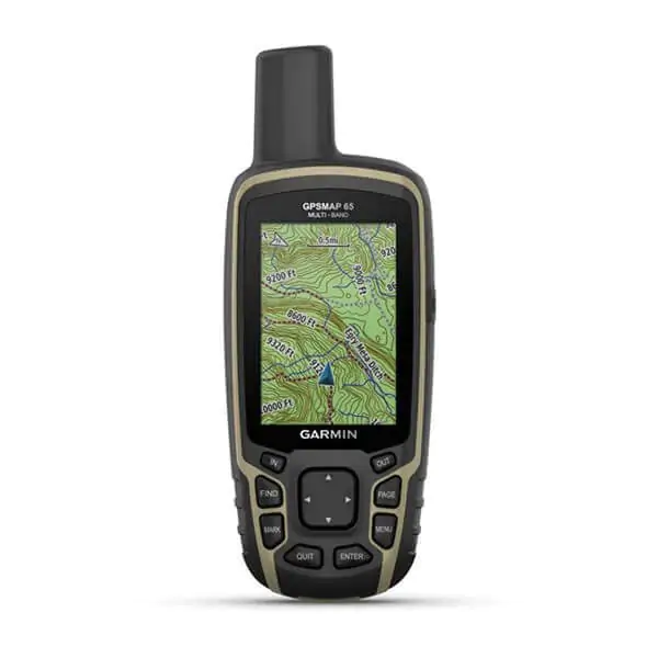
GPSMAP 65

Original price was: 399,99€.Current price is: 339,00€. VAT included

Availability: Out of stock SKU: 10027501

PRICE ONLY VALID ONLINE!

The in-store price may vary.

FREE SHIPPING

from 70 €
delivery within 48 hours

ONLINE SUPPORT

Mon-Fri 09.30-12.30 / 15.30-19.30
call us at +39 0438 430796

FREE RETURNS

on 100% of the product cost
you have 14 days to reconsider

Description

THE WORLD IS TO BE EXPLORED. FIND THE BEST WAY TO DO IT.

Expand your boundaries with the new handheld GPS and the best tracking accuracy, 2.6-inch colour screen and pre-loaded maps.

Don’t miss a single detail thanks to the large, anti-glare colour screen.

Explore the most remote areas with innovative multi-band technology and expanded GNSS satellite support.

It traverses open spaces with the support of TopoActive Europe maps.

Venture out with confidence. It is the portable navigator designed for the harshest environments.

Plan your outing anywhere with the Garmin Explore™ website and app1 .

Travel with the confidence of up to 16 hours of battery life in GPS mode.

EXTENDED GNSS SUPPORT

Support for multi-band technology and GNSS (GPS, GLONASS, Galileo, QZSS and IRNSS) provides optimal accuracy in areas with poor reception, in cities or in open spaces with obstacles.

TOPOACTIVE EUROPE PRELOADED MAPS

TopoActive Europe maps provide detailed views of the road and trail network, waterways, natural features, land use areas, buildings and more.

SMART NOTIFICATION

Receive e-mails, text messages and alerts directly on your mobile device when paired with a compatible smartphone.

MICROSD™ SLOT

With your compatible device and a microSD memory card, conveniently download even more detailed maps such as TrekMap Italia V6, the topographic map of our country at a scale of up to 1:5,000, an extensive trail network and ActiveRouting functions to be guided according to your activity or means of movement.

GEOCACHING

Get automatic cache updates from Geocaching Live, including descriptions, logs and tips.

GARMIN EXPLORE APP

Plan, review and synchronise waypoints, routes and tracks using the Garmin Explore1 app and website. You can also review completed activities while you’re still out and about.

Generale

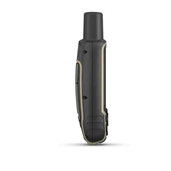
Dimensioni 6,1 x 16,0 x 3,6 cm
Dimensioni schermo, LxA 3,6 x 5,5 cm; 2,6 pollici in diagonale (6,6 cm)
Risoluzione schermo, LxA 160 x 240 pixels
Tipo di schermo Touchscreen TFT transflettivo a colori da 65k
Peso 217 g con batterie
Batteria 2 batterie AA (non incluse); NiMH o al litio consigliate
Durata della batteria 16 ore
Classificazione di impermeabilità IPX7
Ricevitore GPS ad alta sensibilità
Interfaccia Compatibile con NMEA 0183 e mini USB high speed
Memoria/cronologia 16 GB (lo spazio utente varia in base alle mappe incluse)

Mappe e memoria

Cartografia precaricata Sì (TopoActive Europe; navigabili)
Cartografia aggiuntiva
Basemap mondiale
Calcolo automatico del percorso (con precise indicazioni delle svolte)
Segmenti mappa 3
BirdsEye 250 file di immagini satellitari BirdsEye
Include informazioni idrografiche dettagliate (linee costiere, sponde di fiumi/laghi, paludi e corsi d’acqua perenni e stagionali)
Include punti di interesse ricercabili (parchi, campeggi, punti panoramici e aree per picnic)
Consente di visualizzare parchi nazionali, statali e locali, foreste e riserve naturali
Capacità di archiviazione e alimentazione Sì (scheda microSD™ da 32 GB max)
Posizioni memorizzabili 5
Tracce 200
Track log 10.000 punti, 200 tracce salvate
Percorsi memorizzabili 200, 250 punti per percorso; calcolo automatico del percorso 50 punti

Sensori

GPS
GLONASS
Galileo
QZSS
Bussola GPS (in movimento)
Supporto per frequenza multibanda

Funzioni Smart giornaliere

Smart Notification sul dispositivo portatile
Telecomando VIRB™
Compatibile con Garmin Connect Mobile

Funzioni per le attività outdoor

Navigazione da punto a punto
Compatibile con BaseCamp™
Calcolo area
Calendario per caccia e pesca
Effemeridi
Adatto al geocaching Sì (informatizzato)
Compatibile con le mappe personalizzate Sì (500 riquadri mappa personalizzati)
Visulaizzatore immagini

Applicazioni esterne

Compatibile con l’app Garmin Explore ™
Compatibile con il sito Web Garmin Explore

Connessioni

Connettività wireless Sì – Bluetooth®, ANT+®
  • GPSMAP 65
  • USB cable
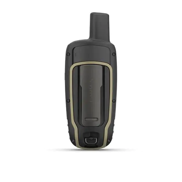
  • Belt clip
  • Documentation